The Mountains Do Not End at the Border: Ecological Corridors Around Świeradów-Zdrój
The most valuable fragments of Sudeten nature do not always bear the name of a park, reserve or Natura 2000 site. Around Świeradów-Zdrój, stream valleys, forest belts, meadows, wetlands and unassuming passages are just as important, enabling animals, plants and water to move between larger protected areas.
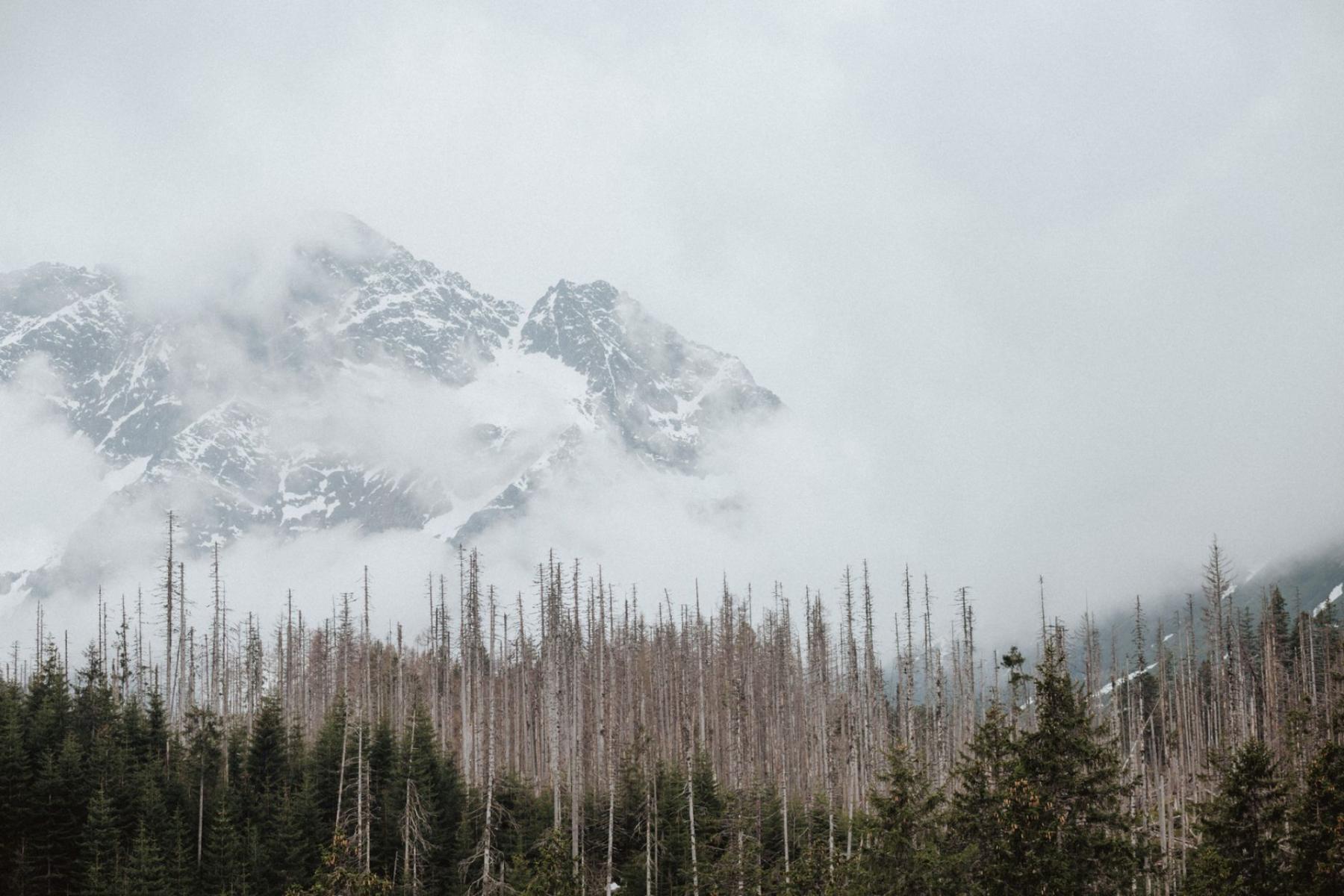
The most common mistake made by visitors to the area around Świeradów-Zdrój is to assume that nature begins only beyond the sign marking a park or reserve. This way of looking at the landscape overlooks its most important dimension: the connections between places that appear on a map as separate patches.
For a deer, what matters is being able to move between forest complexes. For a bat, it is a continuous forest edge, valley or line of trees. For a fish, it is a stream without weirs, dams or impassable culverts. For a meadow plant, it is not just a single meadow, but also the neighbouring habitats and the way people manage them.
The area around Świeradów-Zdrój illustrates this logic well. The Izera Mountains Landscape Park, the valleys of the Kwisa and Czarny Potok, the forest fragments on Zajęcznik, the meadows of the Izera Foothills and the landscape on the Czech side do not form isolated natural islands. They are part of a larger network whose continuity determines whether populations remain connected and whether water can flow through the landscape without losing its functions.
Not Patches, but a Network
A map of nature protection usually begins with boundaries: here a national park ends, here a Natura 2000 site begins, while farther on there is a reserve or landscape park. This is a useful administrative order, but it offers an incomplete picture of nature. Karkonosze National Park runs a separate geoportal module devoted to ecological corridors and biocentres—that is, areas that are particularly important for habitats and the movement of organisms[1].
An ecological corridor does not have to look like a broad, unbroken strip of wild forest. It may be a watercourse valley, a belt of trees, a forest edge, a continuous stretch of wet habitats, a mosaic of meadows and scrub, or a mountain pass through which animals move between larger complexes. Sometimes its importance becomes apparent only when it is cut by a road, development, fence or water-management structure.
Planning documents for Świeradów-Zdrój identify the need to preserve local corridors along the valleys of the Kwisa and Czarny Potok. The same document refers to maintaining forest fragments on Zajęcznik and in the valleys of the Świeradówka and Czarny Potok, as well as leaving some meadows and pastures under their existing form of use[2]. This marks an important shift in perspective: what is protected is not only a specific patch of habitat, but also its relationship with the surrounding areas.
In practice, this means that a walk through the spa town, a passage along a stream valley or an ascent of Zajęcznik may lead through a landscape of greater significance than its everyday appearance suggests. You do not have to be in a spectacular place to be on a route that is important to nature.
Every Species Has a Different Route
A Deer Needs a Passage, Not a Point
Large mammals do not use the landscape as people use a designated trail. They choose lower ground, quieter sections of forest, passages between complexes and places where they can reach feeding grounds without repeatedly crossing busy roads. One preserved stretch of forest does not solve the problem if several subsequent sections are cut off by development or an impenetrable fence.
That is why nature conservation must ask not only where a given species occurs, but also how it can move through the landscape. A project concerning improved ecological connectivity in Karkonosze National Park and its buffer zone includes, among other things, preventing habitat fragmentation, shaping green infrastructure and identifying local ecological corridors[3]. Such work rarely produces a spectacular result for visitors. Its success often lies in the fact that the passage remains possible.
A Bat Sees the Landscape as a System of Lines
For bats, linear landscape features matter: forest edges, clearings, forest roads, tree avenues and watercourses. They can help bats move between roosts and feeding grounds, while river valleys themselves and their tree-lined banks may serve as hunting grounds. Studies of bats in the Czech and Polish Karkonosze have emphasised the importance of such features, particularly the continuity of valleys, wetlands and the boundaries between forest and open space[4].
This explains why an individual tree beside a road or a narrow strip of greenery between buildings is not always merely an addition to the natural landscape. It may serve as a navigational feature and connect two larger habitat fragments. Its removal need not cause animals to disappear immediately, but it may lengthen their route, increase their exposure to light and traffic, or cut off access to feeding grounds.
A Fish Needs a Passable Stream
Water is the clearest example of a corridor that works in two directions. A stream transports water, sediment and organic matter, but it is also a route for fish, lampreys, invertebrates and organisms associated with the banks. A small weir, concrete step or poorly designed culvert can become a greater barrier than its height would suggest.
River restoration includes, among other measures, restoring the natural character of channels, removing or modifying barriers and building fish passes. The aim is to preserve biological continuity so that aquatic organisms can move through and use successive sections of habitat[5]. From the perspective of a trail, it is therefore worth looking not only at the water itself, but also at where it passes beneath a road, through a bridge or alongside buildings.
Plants Do Not Move by Themselves, but They Need Continuity
A plant cannot cross a road or get around a fence. Its seeds, however, may be carried by wind, water, insects, birds or larger animals. For many meadow species, what matters is a network of habitats between which genetic exchange is possible. An isolated meadow left unmanaged for too long may become overgrown, while an intensively transformed lawn cannot replace several neighbouring, diverse patches of vegetation.
In the Izera Mountains, the continuity of meadows also depends on decisions made by land managers: the timing of mowing, the intensity of use, leaving strips of vegetation and limiting transformations. Not every change to the landscape is harmful, but every change can alter its function. A meadow is not merely a view. It may be a place for breeding, feeding, resting and passage.
What Cuts Across a Corridor
A road is the easiest barrier to notice. It is harder to see that its significance depends on the width of the carriageway, traffic volume, lighting, verge, fences and the possibility of crossing safely. To a person, two hundred metres of asphalt is a short stretch. To a small mammal, amphibian or insect, it may be an impassable boundary.
Development is another barrier. A house built beside a valley does not necessarily destroy a corridor, but a continuous line of buildings, car parks, high fences and lights can turn an open passage into a dead end. This is precisely why the protection plan for Karkonosze National Park points to the need to limit development and technical barriers in places connecting the park with other valuable natural areas. The aim is not to leave the entire buffer zone unchanged, but to identify places that should not be sealed off.
Water-management structures are a third barrier. A stream may continue to flow and yet cease to be passable for organisms. A high weir, an ill-fitting culvert or a channel reinforced with concrete deprives the watercourse of part of its natural function. From a visitor’s perspective, it is an infrastructure detail. From a fish’s perspective, it is the end of the available route.
The transboundary Izera Valley is an important example of a connective landscape. The Polish part of this area includes peat bogs situated along the Polish-Czech border, associated with the “Izera Valley Peat Bog” reserve and Natura 2000 sites. The General Directorate for Environmental Protection indicates that this is the largest complex of mountain peat bogs in Poland, and that its protection requires cooperation between the two countries[6]. An administrative border does not stop water, divide the air above a wetland or establish separate routes for animals.
How to Read the Landscape from the Trail
You do not need to know the names of every species to recognise a landscape that may serve as a corridor. Simply change the question from “What will I see here?” to “What might pass, fly or flow this way?” From this perspective, both the area around Świeradów-Zdrój and the farther sections of the Main Sudeten Trail, the approach through Zajęcznik, the area around Izerska Łąka—Centre for Ecological Education and the route towards Jizerka become easier to read.
- Pause by the valley. Check whether the stream has a natural bank, whether it passes beneath the road and whether you can see weirs, concrete reinforcements or other obstacles in its channel.
- Look at the continuity of the tree cover. A belt of trees, a forest edge and scrub may connect places that cannot be seen from the main road.
- Pay attention to fences. An impenetrable fence, especially one placed across a valley or between forest and meadow, may cut off an animal passage.
- Do not treat a wetland as empty space. A waterlogged patch of ground may be part of a larger hydrological system. Do not leave the designated route, even if the area looks easy to cross.
- Identify habitat boundaries. The meeting point of forest, meadow and water often has greater significance than a uniform stretch of a single environment.
- Do not look for an exact location. If you notice a nest, shelter, beaver lodge, bat or breeding site, do not approach and do not publish precise coordinates.
The best practice for visitors remains a simple rule: slow down where the trail crosses a valley, forest edge or wetland, and then stay on the route. Protecting corridors does not mean entering places that appear inaccessible and looking for proof of their importance. On the contrary—sometimes the most sensible form of observation is accepting that not everything should be seen up close.
Świeradów-Zdrój is therefore not merely a gateway to mountain attractions. It is one part of a larger system in which forest, meadow, stream, wetland and national border remain connected. Those who look only at the areas marked in the colour of protection see a map. Those who look at the passages between them begin to understand the mountains.


