Not Just Bad Flinsberg: How Today’s Świeradów-Zdrój Emerged from a Map of Settlements
Does Świeradów-Zdrój have a single historic centre? No—today’s urban layout grew from several parts of the settlement, the spring district, the Kwisa valley and the separate spa at Czerniawa-Zdrój. This article shows how to read the town from a map: through its old roads, valleys, parks and administrative boundaries.
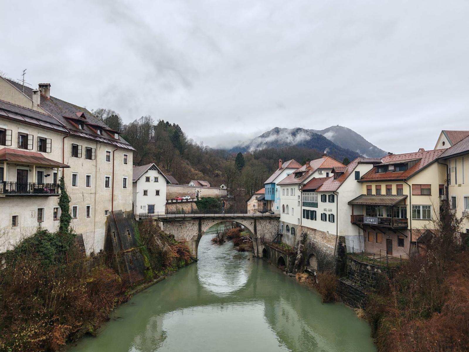
Does Świeradów-Zdrój have a single historic centre that can be identified on a map? No: today’s town grew out of several settlement patterns that, over time, became connected economically, as a spa and administratively.
This is an important distinction. First-time visitors usually begin at the Spa House, Spa Park or the promenade, and quickly take this part for the whole town. Historically, however, Świeradów was a settlement spread through the Kwisa valley and along its slopes, with sections lying both higher and lower, roads leading to the springs, and separate settlements in neighbouring valleys. Today’s map is therefore not a simple plan of a single resort. It is a record of successive connections.
The Map Begins with the Valley, Not the Name
The easiest way to understand Świeradów’s geography is to set aside the question of its name at first. The town lies in the Izera Mountains, in the Kwisa valley, between the Wysoki Grzbiet and the Kamienicki Grzbiet. Its terrain ranges roughly from 450 to 710 metres above sea level, and with the inclusion of Czerniawa-Zdrój also encompasses the valley of the Czarny Potok and areas extending towards the Izera Foothills[1].
In a lowland town, the centre can usually be identified by its market square, church and main street. In Świeradów, the natural landscape worked differently. The river determined the direction of settlement, the slopes limited the possibility of dense development, and the medicinal springs lay at specific points to which roads—and visitors—had to be brought. The town therefore developed in a linear, terraced fashion: along the valley, on the hillsides and around places important to the local economy and spa treatments.
This does not mean that historic Świeradów was a random cluster of houses. On the contrary, its individual sections each had their own location and function. The town’s official chronology distinguishes the Upper Village and Lower Village, as well as settlement around Długa Góra and the later association of these sections under the common name of Flinsberg[2].
In this sense, the map says more than the name of the town alone. It shows that before the spa centre familiar today came into being, there was a network of smaller places whose inhabitants shared the same roads, water and mountain hinterland.
Flinsberg Was Not a Single Point
The name Flinsberg was recorded in 1524, while the designation Bad Flinsberg appeared later, during the age of the developed spa—from 1782 onwards[2]. The name should not, however, be treated as the address of a single, clearly defined centre from the outset.
In 1736, a map of the Duchy of Jawor showed two sections of the settlement joined together in the Kwisa valley. A third section ran uphill from the Lower Village towards Długa Góra, while another important point was developing around a spring marked “Beer Spring”[2]. This is one of the most fascinating moments in reading the old map: the settlement was already perceived as a whole, but that whole still consisted of several distinct stretches.
Today’s visitor may overlook this arrangement, because the buildings, guesthouses and roads now form a continuous sequence that seems more unified than it once was. Traces of the divisions do not have to survive in the form of signs bearing old names. They are more likely to be seen in changes of elevation, the course of the streets, the position of older houses and the point at which dense development gives way to a slope or a road leading towards the forest.
It is also worth remembering the date 1572. This was neither the year the town was founded nor the moment when the name Flinsberg appeared. It was the date of Leonard Thurneysser’s description of Świeradów’s waters—cold, warm and metallic springs that attracted the attention of researchers[2]. In the spatial history of the settlement, its significance lies in directing attention to the springs as an element that, over time, began to organise the entire surrounding area.
The Spa Creates Its Own Centre
Świeradów’s historic centre is not the same as its oldest settlement area. It emerged in connection with therapeutic infrastructure that gradually clustered around the springs. In the eighteenth century, the first buildings intended for spa visitors appeared, followed in the ensuing decades by spring houses, bathhouses and residential buildings[2].
The clearest surviving layer of this process is the present-day Spa House and Spa Park complex. The earlier Spring House was destroyed in a fire in 1895. The new Spa House, designed by the Wrocław architect Grosser, welcomed its first spa visitors in 1899[3]. Around it, a park landscape was created from 1898 onwards, with terraces, stairways, retaining walls and features adapted to the sloping terrain[4].
This was not an ordinary park beside a representative building. It was a means of bringing order to a mountain landscape. Rather than levelling the slope, the designers used its gradient, creating successive levels and sightlines. As a result, the spa district acquired its own logic: the Spa House, promenade hall, terraces, park and routes for spa visitors formed an arrangement distinct from the residential development of the valley.
It is here that the most obvious answer to the question of Świeradów’s “centre” can be found. The Spa House is the historic heart of the resort, but not of the entire former settlement pattern. Its importance derives from its therapeutic, representative and communicative functions—not from having been the settlement’s only centre from the beginning.
The Promenade Hall, a larch-wood structure approximately 80 metres long, preserves the scale of the former spa complex. It is the longest structure of its kind in Lower Silesia[3]. Its presence shows how much space the spa required for semi-public activities: places where visitors could walk, rest, meet other spa guests and remain within the therapeutic district without setting out on a mountain trail.
The Kwisa as Connection and Boundary
The Kwisa River is not merely a landscape feature in this story. For centuries, it determined routes of movement, provided points of orientation and separated sections of the settlement. At the same time, important elements of the spa emerged along its banks.
In 1811, during a summer drought, another mineral spring was discovered in the bed of the Kwisa. From 1827 it was made available to spa visitors as the lower spring, and in 1879 the Ludwigsbad, later known as Stary Zdrój, opened at the site[2]. This history changes the way we see the valley: the area by the river was not peripheral to the Spa House higher up, but a separate therapeutic district.
In practice, this meant that there was more than one spa axis. One led towards the upper spring and the representative centre; the other descended towards the Kwisa and the lower spring. Between them lay roads, residential buildings, service facilities and access routes. Today’s walk downhill from the Spa House can therefore be read as a passage between two historic ways of making use of the water.
The town’s location also explains why Świeradów did not take the form of a compact lowland resort. Built-up areas had to adapt to slopes, valleys and watercourses. According to municipal documents, the commune covers approximately 20.7 square kilometres and includes, among other places, Czerniawa-Zdrój, Góreczno, Kamieniec, Łęczyna and Ulicko; some of these names function as neighbourhoods or local names rather than separate TERYT units[1]. This is another reason why the map can appear more complex than the official address.
Czerniawa-Zdrój: A Second Spa within a Single Administrative Unit
The most important later spatial connection was the incorporation of Czerniawa-Zdrój. It was not originally a district of Świeradów. It developed as a separate settlement, associated, among other things, with a glassworks, the settlement of Czech exulants and its own mineral springs[5].
Its spa history also followed its own course. The Wiktoria Spring was discovered in 1783; small therapeutic establishments began to appear at the start of the nineteenth century; in 1816 the water outlets were captured; and in 1860 a spa house was built. The building still standing today replaced an earlier one in 1910[5]. Czerniawa was therefore not a residential hinterland for Świeradów, but an independent spa centre, albeit a smaller one developing in a different valley.
In 1973, Czerniawa-Zdrój was joined to Świeradów administratively and as a spa[5]. This event created the town’s present-day layout, but it did not erase the difference between the two sections. In Świeradów, the dominant image of the resort is shaped by the Spa House, Spa Park, promenade hall and the spring district in the Kwisa valley. In Czerniawa, the focus is its own spa park and the buildings associated with a separate history of treatment.
For this reason, travelling or walking between the two sections is best understood not as moving through an ordinary district, but as a change in the scale of the map. The administrative boundary has disappeared, but the topography and memory of the places remain. On one side is the centre of a large spa complex; on the other, a smaller, more distinct spa ensemble in the valley of the Czarny Potok.
How to Read the Town on a Walk
The best way to read Świeradów is not by ticking off attractions. It requires comparing several places that function like reference points on a historical map.
- Begin at the Spa House. Notice that the building does not stand on a level square, but forms part of an arrangement of terraces, stairways and parkland. This is a spa centre designed for a slope, not for a regular urban grid.
- Walk through Spa Park. The park consists of several sections arranged around the spa centre, and the part closest to the Spa House has a distinctly architectural character[4]. Look at the retaining walls and changes in ground level as traces of the deliberate organisation of the hillside.
- Head down towards the Kwisa. This stretch helps explain that the valley was more than a backdrop to the spa. The lower spring and the later Stary Zdrój stood by the river, forming a separate therapeutic point[2].
- Then travel or walk to Czerniawa-Zdrój. Do not look for a copy of Świeradów’s centre there. Look for the differences: a separate park, another valley and traces of a spa that developed independently for a long time.
- Finally, look at the map from a higher vantage point. The Stogi Izerskie, slopes and valleys will show why the town has a dispersed form. The mountain hinterland does not begin only beyond the last house—it helped shape the settlement pattern from the very beginning.
Read in this way, Świeradów is not a town with a single centre, but a settlement with several overlapping ones: residential, spring-related, representative, riverside and Czerniawa-based. Bad Flinsberg remains an important name in this history, but it does not encompass the whole of its geography.
So if someone asks where historic Świeradów actually begins, the answer is: it depends on which map we open. On the spa map, it is the Spa House and Spa Park. On the valley map, it is the chain of settlements along the Kwisa. On the administrative map, it also includes Czerniawa-Zdrój. And on the map of an everyday walk, all these layers meet in a single town that never had just one historic centre.


