How to Read Trails on the PL–CZ Border: PTTK and KČT Markings, Maps, and Park Rules
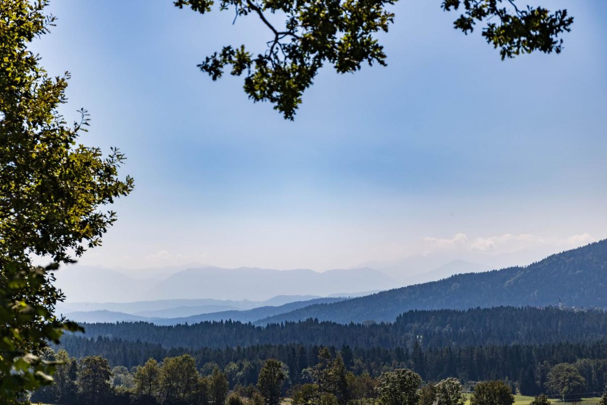
Two mature trail systems meet where the Izera Mountains tip into the Giant Mountains. This evergreen guide decodes the ‘language’ of colors and waymarks on both sides of the border, explains how to use junction signposts and maps, and clarifies ground rules in Karkonosze National Park and the Jizera Mountains Protected Landscape Area.
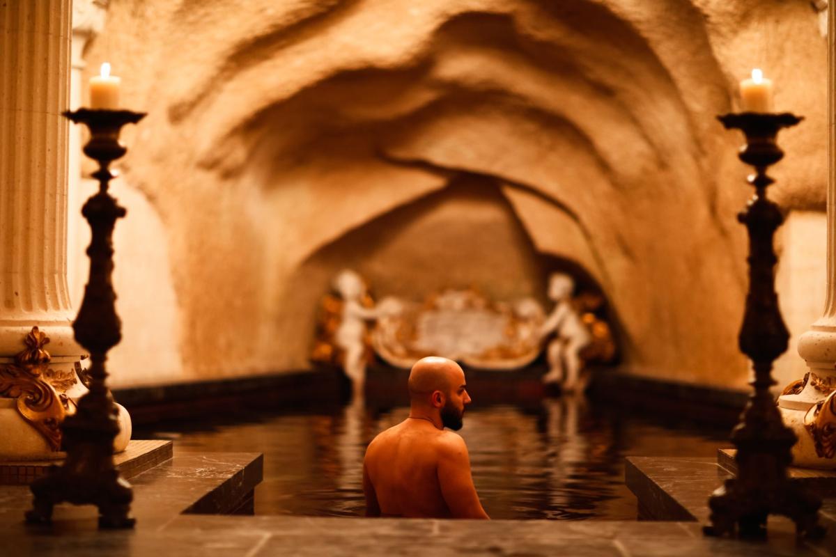
The first thing you notice leaving the spa quarter in Świeradów-Zdrój isn’t a view at all, but paint: a bright band on bark at shoulder height, an arrow on an old post, a plate of destinations and times at a junction. This is the mountain’s language. Learn it once and loops from the spa house to bog boardwalks, ridge connectors, and over-the-border hamlets like Jizerka become easy to compose—and safer to walk.
Two systems, one grammar: colors don’t mean “easy–hard”
On both sides of the frontier you’ll follow painted rectangles or arrows that repeat at reassuring intervals. In Poland, the standard blaze is a colored stripe framed by two white stripes, repeated on trees, rocks, or posts. You’ll see it everywhere—from the red of the Main Sudetes Trail leaving Świeradów-Zdrój to quiet local connectors—and its job is simple: keep you on the intended line, not grade your fitness.[1]
Cross into Czechia and the paint grammar looks familiar: a color between two white bars, echoed by arrows at turns. The Czech Tourist Club (KČT) turned this into a national standard over a century ago. Its palette for hiking is four colors—red, blue, green, yellow—assigned to individual routes so they remain distinct and legible across a dense network. Like Poland’s, these colors identify a particular trail; they are not a scale of difficulty.[2]
The confusion often comes from ski slopes and winter touring, where color can signal difficulty. That’s a different system: in Poland, for example, marked ski routes use their own standards, and there the color does relate to steepness and demand—unlike hiking waymarks.[3]
Decoding what you see on the ground
Painted blazes: continuity, not judgement
Think of the blaze as punctuation on a sentence you’re already reading correctly. On straight or obvious lines, the marks are spaced; at ambiguous points they bunch up, on corners they turn into arrows that point the way. You’ll also meet symbols for short spurs to lookouts or huts. In forests, light catches fresh white paint; on stone, the color pops in flat light. In snow or fog, you’ll be grateful for how repetitive this feels.
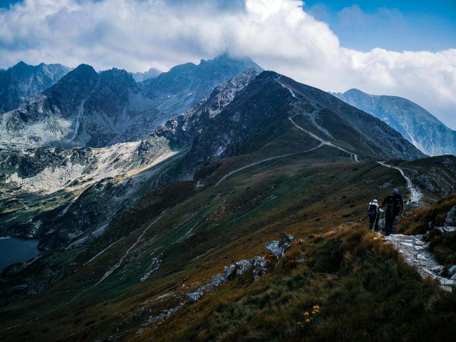
Junctions: the real information centres
Junctions—often called “nodes”—are where both systems give you the planning tools. In Poland you’ll find direction boards pairing the route color with a destination and an estimated time. In Czechia, the classic KČT signpost is a neat stack of plates with place names and walking times (not just distances). Those times are meant for an average walker in fair conditions; you adjust for your day, weather, and party.
Two small differences to absorb as you start composing loops:
- Color logic: expect color to signal the identity and continuity of a given route, not its grade. Trunk or long-distance routes are often red (for instance, the Main Sudetes Trail), but a red segment may still be the gentlest line across a hillside.[1]
- Time vs. kilometres: you’ll see times used liberally in both countries, but Czech signposts almost always lead with time. Trust times for comparing variant lines off the same node; use kilometres only as a secondary sense check.
Maps that “speak” the signage
Paper or phone, choose a map that mirrors the color-logic above. For the Czech side, Mapy.cz is the everyday standard—its tourist layer mirrors the KČT network and is updated frequently. If you’re crossing over to Jizerka or Smrk from Świeradów, preloading that layer gives you near-realtime reassurance about junction names and the way trail colors thread through the forest.[4]
On the Polish side, long-distance routes like the Main Sudetes Trail (GSS) are clearly shown in red on most reputable maps and atlases. The key is matching what the map shows to what the paint tells you at the first junction. If they disagree, trust the mountain: follow the last confident blaze and backtrack to the node.
Build your first cross-border loops from Świeradów-Zdrój
Start beneath the spruce line north of the PTTK Mountain Hut on Stóg Izerski and the trail language starts to make sense. A half-day family loop might leave the spa quarter on a green or blue approach, climb in shade, then swing onto the red long-distance line for a gentle traverse before dropping back on yellow. You’ll stitch it together at nodes: the boards give a time to the next saddle, the paint keeps you honest on the turns.
Want to touch the open meadows and bogs? Aim for Hala Izerska and the quiet hut at Górzystów; from there, waymarks lead out across lichen-silvered planks and rejoin forest roads braided with blazes. Confident walkers can let curiosity tip them over the watershed to Jizerka via marked crossings and return on a different color—green or yellow—as a connector. The beauty of this borderland is how readily the two systems interlock once you learn to read them as one syntax rather than competing dialects.
Not a fan of steep ups? Read the junction boards as a transit map: times that climb 400 metres in 90 minutes are telling you a story; choose the route that skirts, not surges. Red may cover both options. That’s the point.
Ground rules that matter in protected areas
Karkonosze National Park (Poland)
If your loop pulls you toward Szklarska Poręba or the Giant Mountains ridge, you’ll enter Karkonosze National Park (KPN). Here the basics are straightforward and enforced: move only on marked trails and educational paths; respect winter and spring closures and the existence of signed winter variants; carry your trash; no open fire or fireworks; and buy a ticket for entry. Dogs are allowed but only on a leash, and some sections are closed to dogs entirely—watch for on-site information.[5]
Daylight walking is the rule, with an exception for trails connecting huts and valley villages. If you’re out early for a sunrise or late from a long traverse, that nuance matters; otherwise, plan for daylight windows and the reality of Sudeten weather.
CHKO Jizerské hory (Czech Republic)
Across the border, much of the landscape is a Protected Landscape Area (CHKO), a Czech conservation category below national park but above ordinary countryside. Within the CHKO you’ll also encounter smaller, stricter reserves. The practical takeaway for hikers: stay on marked paths in sensitive zones, treat fires and camping as forbidden unless you’re at a designated spot (rare in the uplands), and assume motor access is restricted. The KČT network exists precisely to channel movement without fraying the habitats you came to enjoy.[6]
The color code, de-mystified
Put bluntly: color is a language of line, not a grade. Four quick truths to hold onto:
- Red does not mean “hard.” In both countries it often marks primary routes, including famous through-lines like the Main Sudetes Trail—red from Świeradów-Zdrój eastward across the range.[1]
- Black on a hiking blaze doesn’t mean “extreme.” You’ll pass black segments that are flat and family-friendly.
- Winter touring and ski piste colors are different. On marked ski routes in Poland, color does reflect difficulty—green/blue/red/black as you’d expect—because slope and surface dictate safety there, not just orientation.[3]
- Colors avoid collisions. Expect local planners to choose a color that keeps two routes of the same color from crossing at a confusing junction. That’s why the same destination might be approached in different colors depending on the line.
Reading signposts like a local
At a Polish junction, look first for the route color you’re on, then your next named point—sometimes a saddle or glade rather than a town—and the time to it. In Czechia, a tidy stack of plates gets you the same answers at a glance, with arrows pointing you along the right color and a time estimate to each intermediate and final destination.
Two habits make this seamless:
- Always memorize the next two waypoints on your line, not just the final one. If a storm forces a turn, you’ll recognize which alternative keeps you nearest your plan.
- Cross-check times with the map’s profile. A 45‑minute line on a traverse often beats a 30‑minute fall-line grunt if the last 10 minutes are all tussle and roots.
Seasonal quirks and winter variants
On the Karkonosze ridge, some stretches carry separate winter lines to avoid avalanche paths or corniced edges. In spring, thaw and nesting closures appear. Treat these as part of the grammar: if a plate says a section is zamknięty/uzavřeno (closed), there will be a legal, marked alternative. Winter poles and wands are not the same as summer blazes; don’t try to fuse the two without local knowledge.[5]
Border habits: planning at the seam
Crossing the main ridge changes the sign language—but not the logic. Here’s what makes planning smoother when your loop respects two rulebooks:
- Align colors by junctions, not across the map. Don’t assume a red in Poland becomes a red in Czechia. It usually won’t. Swap colors confidently at border nodes; continuity is maintained by the place names and times.
- Expect time estimates to feel different with terrain and tradition. If you move faster than board times on Polish forest roads but equal them on Czech stone and root, adjust your day by experience, not hope.
- Check protection layers. A Polish valley may be outside the national park even as the opposite slope, just across the line, sits inside a Czech reserve. Your freedom to leave a track, fly a drone, or walk with a dog can change in a few steps. When in doubt, default to stricter behaviour until a sign says otherwise.[5][6]
- Let huts and hamlets anchor you. Names like Jizerka, Orle, or the hut under Stóg Izerski appear consistently on plates and maps in both languages. Plan by these anchors and the rest—the colors and arrows—will carry you.
From spa colonnade to ridgeline: a way of seeing
Świeradów-Zdrój is generous to first-time readers of the trail “language.” The painted bars catch the eye even when you’re still within earshot of the café clink in the park. A few kilometres on, when spruce tightens and the air cools, you’ll find yourself scanning for the next rectangle without thinking. That’s the quiet kind of competence these mountains reward: reading before you’re lost, knowing when a plate’s 25 minutes is really 40 with a chatty eight-year-old, and feeling at home on either side of the ridge because you’ve learned the grammar, not just the words.
Carry a paper backup if you love your phone. Check park advisories before you go. And remember: the paint is there to be trusted—until it isn’t. When blazes vanish, return to the last node you could read with confidence and start the sentence again.