Granite, Basalt and Bogs: A Geotrail Guide to the Izers, the Karkonosze and the Czech Jizerské hory
Świeradów-Zdrój is an excellent base for reading the Sudetes like a book: from the Karkonosze granite intrusion and the ‘‘skin’’ of metamorphic rocks, through basaltic episodes around Jizerka, to the safely accessible bogs of Hala Izerska. Instead of point‑to‑point routes, we suggest thematic loops—each telling a different chapter of the mountains’ history.
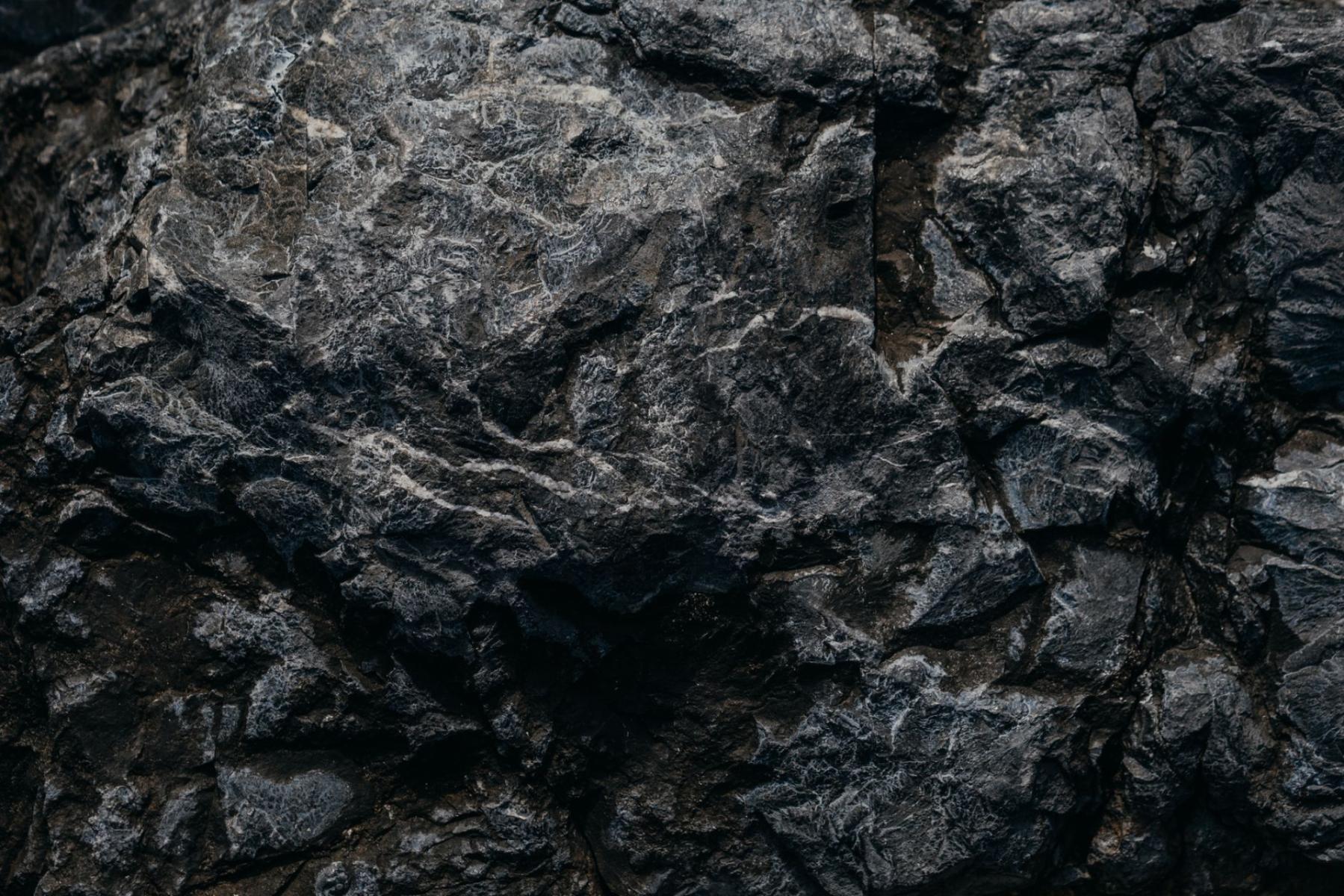
The first thing you notice after an overnight rain is resin and wet needles. Then another scent arrives — the coolness of a bog. Between these two aromas stretches the whole story of the Izers and the Karkonosze. Mountains where hard granite pushed into the crust, basalt arrived later like a short but memorable episode, and high peatlands arranged their own calendar of colours and textures. From Świeradów-Zdrój we set out to learn this alphabet — step by step, on loops that pair a good walk with lessons in geology and nature.
How to read Karkonosze granite and the metamorphic “skin”
The Karkonosze are a landscape‑scale laboratory: the core of the massif is a Carboniferous granite intrusion, and around it — like a well‑fitting glove — lies a mantle of metamorphic rocks. The contact can be surprisingly tangible: the granite, light and granular with aplitic‑pegmatitic veins, passes into darker hornfels and slates that were "crusted" by the heat of the magma. In geological literature you will find descriptions of such zones in the area of Szklarska Poręba Dolna — a good idea is to look for contrasts here in the field and learn to distinguish textures and grain sizes on short, family‑friendly trail sections.[1] For the record: the intrusion itself and the contact aureole are classical phenomena in the Karkonosze, confirmed in the scientific literature — here you really read geology like a textbook.[2]
How to recognise this in practice? In the granite look for large, milky feldspar crystals and gleaming flakes of mica; in the hornfels — a homogeneous, compact rock with a platy sheen. In the valleys and on the slopes of the lower course of the Kamienna around Szklarska Poręba it’s easy to compare these textures almost at arm’s length, and on the Karkonosze ridges the glacial cirques and tors with woolsack‑style weathering complete the picture of a relief modelled by ice and frost.[5]
Loop 1. Karkonosze “granito‑metamorphic”: a short lesson in contact metamorphism and pegmatites
Route outline: start from one of the junctions around Szklarska Poręba Dolna; a short loop linking paths at the foot of the ridge and a viewpoint; return via the Kamienna valley.
What you read in the field:
- Pluton–host contact. Visually — a change in colour and rock texture; by touch — a transition from rough, granular granite to smooth, platy hornfels surfaces. Here you can "see" contact metamorphism that geologists describe.[1][2]
- Aplitic‑pegmatitic veins. Light, fine‑grained aplitic bands and coarse‑crystalline pegmatite nests cutting the granite reveal later pulses of magma and fluids — easy to spot even for a teenager with a hand lens.[1]
- Glacial relief from above. From higher ridge points, look down at the bowls of the cirques and the steps — a wordless lesson in geomorphology.[5]
For whom: families with inquisitive children who want to "feel" the difference between igneous and metamorphic rock, and anyone who prefers shorter loops packed with content.
Loop 2. Hala Izerska and the Torfowiska Doliny Izery reserve: wetlands that teach patience
Route outline: Świeradów‑Zdrój — ascent by one of the convenient variants onto the wide, open Hala Izerska (also known as Izerska Łąka) — visit to the Chatka Górzystów — return as a loop to avoid repeating the same section. It’s best to plan a variant that passes the information boards and stops of the educational trail in the north‑eastern part of the reserve.
This is where the language of nature is most hushed. From clumps of cotton‑grass the wind rises, and between tussocks small water "eyes" gleam. The Hala — a cool, flat basin — collects cold air and moisture, creating conditions for the development of raised and intermediate peatlands. The Torfowiska Doliny Izery reserve has clearly defined visiting rules: there are boardwalks and educational stops (eight stations) that allow you to safely learn the bog patches without entering sensitive habitats.[4] Importantly, the Polish part of the Izera valley is part of a transboundary Ramsar area created together with the Czechs — a double mark of quality and a duty of care.[3]
What you read in the field:
- Peatland microrelief. Tussocks (higher, drier, with shrubs) and hollows (lower, wetter, with moss carpets) form a mosaic. It’s a natural "atlas" of surface hydrology.
- Indicator plants. Watch for carpets of peat mosses, clumps of cotton‑grass, low shrubs and carnivorous sundews at the edges of the boardwalks — all observed from a distance, without leaving designated routes.[4]
- Two layers of protection. The reserve (strict protection) + Natura 2000 / Ramsar (network and international recognition) — an example of how different "layers" of protection overlap in the same place.[3][4]
Practical tip: plan the loop so that on the return you visit Izerska Łąka — the Centre for Ecological Education in Świeradów (workshops, films, a microscopic "school of mosses" — a great finish for young researchers; details and opening hours in municipal announcements).
Loop 3. Jizerka and the basalt episode: between peatland plateaus and the Bukovec cone
Route outline: trail junction around Orle or Jakuszyce — cross to the Czech side to Jizerka — a viewpoint loop with views of Bukovec and sections of paths across meadows and boardwalks — return by a different variant. Plan crossings with a map and respect the rules of CHKO Jizerské hory.
The Jizerské hory are doubly legible: the whole southern part is built from granite, the north from gneisses and micaceous slates — and here and there easily erodible volcanic rocks appear. Above Jizerka rises Bukovec, a volcanic cone whose grassy slopes contrast with the cooler, flat patches of peatland in the valley floor.[6] For a geotourist it’s a gift: in a single glance you can see lithological differences and then the reflection of those differences in vegetation and relief. The Jizerské peatlands on the Czech side are partially accessible along designated trails; boardwalks and viewing platforms allow you to stand above a bog, not in it. Always follow the signs.
What you read in the field:
- Litological mosaic. Granite plateaus and gentle ridges versus a basalt cone — different rock, different weathering and a different "pattern" of the meadows.
- Hydrology of the high watershed. The flat course of the Izera and its tributaries across peatland plains is a lesson in meanders and gravel bars — quiet but very plastic phenomena.
Loop 4. The High Ridge: a ridge walk from Stóg to Smrk
Route outline: start in Świeradów‑Zdrój (or from the upper gondola station) — Schronisko PTTK na Stogu Izerskim — along the ridge toward the border — the tower on Smrk — return via a variant through the pastures and crossroads.
This loop is where you "read" the mountains at a macro scale: ranges and their steps, gentle Izers summits and stony ridges, and in good weather — distant views to the Karkonosze crest. In the cracks between granite blocks — evidence of frost modelling; on the path edges — spruce stands that at higher elevations give way to peatland enclaves. It is also one of the best ways to experience the depth and length of the Main Sudetes Trail, whose Izers section leads from Świeradów up to the ridge.[5]
What you read in the field:
- Periglacial "writing" on granite. Rock fields, fissures, rounded blocks — the classic set of frost‑forms on hard rock.
- Vegetation belts. Lower down — resinous spruce stands; higher — peatland enclaves and dwarf scrub. You learn altitude without numbers, by looking and smelling.
Loop 5. Wysoki Kamień and neighbouring rocks: granite "within reach"
Route outline: drive to the junctions between Świeradów and Szklarska Poręba; a loop via Wysoki Kamień with neighbouring outcrops, return via a viewpoint over the valley.
This is the simplest way to get very close to granite tors. On Wysoki Kamień (1058 m a.s.l.) the rocks are dry, rough, mossy in semi‑shade — and they beautifully "tell" how a massive block becomes a sculpted form. In winter the wind howls along the ridge, in summer it toys with the needles; year‑round light enlivens the rock texture. The loop is short but substantive; good for a day when you just want to touch granite and sit with a cup of tea on a viewpoint bench.
Geotourist etiquette: how to visit without harming
- Leave the peatlands alone. In the Torfowiska Doliny Izery reserve move only on marked boardwalks and paths, use the educational stops. Removing moss and "peeking" beyond barriers destroys habitats that have grown for decades.[4]
- Observe — don’t remove. A pegmatite with sparkling tourmaline, granite with a large orthoclase — beautiful, but not yours. Leave it in place, photograph it, note it in your notebook.[1]
- Think transboundary. On the Czech side (Jizerka and surroundings) peatlands are opened fragmentarily and regulated by CHKO rules; boardwalks and educational trails are a privilege, not a right. Respect signage and seasonal closures.
- Read the sky. Hala Izerska can be a cold pole at any time of year; always carry a windproof layer and something warm to drink in your backpack.
Why these mountains look the way they do
Because the Karkonosze and the Izers did two things at once. First — deep underground — a huge granite pluton formed. Then changes took place in the surrounding rock: host rocks were thermally altered, creating an aureole of hornfels and slates. Today, when all of this was uplifted and levelled by glaciers and frost, contrasts are visible at a glance: light, massive granite (often with aplitic‑pegmatitic veins) and the darker, slaty "skin" of the mantle.[1][2] Added to this are later volcanic episodes that left their signatures, for example in the form of the Bukovec cone above the Czech Jizerka.[6] In the relief — glacial cirques, steps and tors — best seen on the Karkonosze crest.[5]
The second answer is botanical and hydrological: in the basins of Hala Izerska and in the Izera valley cold, mists and water have for centuries worked to form peatlands. These are landscapes with their own rhythm and sensitivity, recognised for protection at national, European and international levels (Natura 2000 and Ramsar).[3][4]
Returning from the trail, you feel as if the mountains spoke louder than usual today: granite creaked underfoot, the basalt hump cut a darker line against the sky, and a delicate, herbal coolness rose above the moss. It all adds up to one long story. And to the desire to come back — maybe on a different loop, but always for the same pleasure: to understand what you see.


