Świeradów-Zdrój at a Light-Footed Pace: A Guide to Trail Running and Power Hiking in the Izera Mountains
You do not need to train for a race to move through the Izera Mountains faster than on a traditional hike. RunTrack on Zajęcznik, the forest roads towards Stóg Izerski and the ascent towards Hala Izerska make it possible to build a progression from a short run-walk to a full day of power hiking.
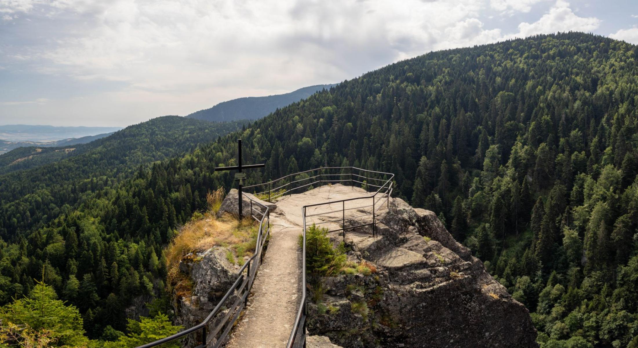
In 1572, Leonard Thurneysser described the cold and warm mineral waters of the spring in Świeradów; today, the same town can be explored faster than on a traditional hike, without turning an outing into a race[1]. The best place to start is Zajęcznik and the RunTrack system — a network of forest routes where running alternates with walking, and the pace is dictated by the terrain rather than ambition on your watch.
This distinction matters. Trail running, run-walking and power hiking are not three names for the same effort. They share an off-road form of movement, but differ in technique, intensity and the way they approach climbs. In the Izera Mountains, each of these forms makes sense — provided the route is chosen to suit your fitness, surface, elevation gain and current conditions.
Three ways to move through the mountains
Trail running means running on natural surfaces: forest roads, gravel tracks and paths. It is not about maintaining one pace at all costs. On a gentle section, you can run freely; on a steep ascent, switch to walking; and on a technical descent, shorten your stride and focus on stability.
Run-walking is the most practical option for beginners and people returning to activity. Rather than waiting until you run out of energy, divide the route in advance into running and brisk-walking sections. For example: five minutes of running, two minutes of walking, and walking from the outset on climbs. This pattern makes it possible to maintain good technique for longer and prevents the outing from becoming a struggle to survive the final kilometres.
Power hiking is energetic walking without any obligation to break into a run. Your posture remains upright, your stride is purposeful, your arms work actively and poles — if you use them — help maintain your pace on climbs. It is a good choice when the route involves a lot of elevation gain, the surface is wet or the aim is to spend a long day in the mountains rather than cover a short loop quickly.
The simplest rule is this: run where you can maintain conversational breathing and control of your stride; walk where the terrain begins to compromise your technique. In the mountains, switching to walking is not a failure. Often, it is the most economical decision.
RunTrack on Zajęcznik: the best starting point
RunTrack runs through the forested terrain of Zajęcznik. The system comprises three colour-coded levels: a 5 km green route, a 7 km blue route and a 10 km red route. All follow forest and gravel roads, with no asphalt; the loops can be started at different points, and directional markers appear at least every 100 metres[2].
The city’s official materials indicate Strażacka Street as the recommended starting point[2]. In practice, what matters most is not the entrance gate itself but the way you approach your first training session. The green loop does not have to mean running continuously. You can walk part of it, run the gentler sections and treat the climbs as a power-hiking exercise.
On Zajęcznik, it is easy to see how your body responds to an off-road surface. A forest road is more forgiving than a rocky path, but it still requires stabilising work: your foot lands less predictably, the surface changes after rain and short inclines can raise your heart rate faster than a long, even stretch.
How do you choose a colour?
- Green, 5 km: a first encounter with trail running, a relaxed run-walk or technique training without pressure to achieve a result.
- Blue, 7 km: the natural next step, once 5 km no longer causes noticeable fatigue the following day. It is suitable for practising longer stretches of continuous running.
- Red, 10 km: an option for people who can control their effort over a longer loop and are ready to accept that they will cover part of the route on foot.
It is worth treating the colour as information about the route’s level, not as a declaration of sporting ability. A beginner can walk the red loop, while an experienced runner can use the green one as a recovery workout.
Progression: from a short loop to an Izera day
The safest way to build fitness is in stages. Do not increase distance, elevation gain and pace at the same time. If a longer route is to be the next step, leave intensity for later.
- Stage one — Zajęcznik. Choose the green RunTrack loop. Begin with five minutes of easy walking, then alternate jogging with walking. On your first outing, the aim is to get to know the surface, the work of your feet and your response to climbs. If you can function normally after returning and no unusual pain appears the next day, subsequent workouts can include longer running sections.
- Stage two — the longer loop. Move on to the blue or red route only once you can maintain relaxed technique towards the end of the shorter loop. Run the flat and gently descending sections, and use brisk walking on the climbs. This is where you can best learn to manage your energy: the first half of the outing should leave something in reserve for the second.
- Stage three — Stóg Izerski or Hala Izerska. This is no longer simply an extension of RunTrack, but a mountain outing with greater elevation gain, changing surfaces and the need to navigate independently. In this version, power hiking may be the main technique, with running an addition for easier sections.
A red trail leads from Świeradów to Stóg Izerski. The official route description gives approximately 4.5 km one way and 569 m of total ascent; the ascent itself is estimated at around 2.5 hours, with the return taking approximately 1 hour and 10 minutes[3]. It is an option for those who want to practise a strong, even uphill walk and a controlled descent. Do not plan to run continuously here simply because the distance looks modest.
A blue trail leads towards Hala Izerska via Polana Izerska. The official description gives 6.8 km one way to Chatka Górzystów, approximately 438 m of ascent and 139 m of descent; the average walking time is around 2 hours and 27 minutes[4]. This is the more demanding full-day option, particularly if you plan to return by the same route. On a route like this, sensible walking is a fully-fledged technique, not a break from running.
The Świeradów gondola lift can change the logistics of an outing to Stóg, but it should not replace preparation for the route beyond it. If you use the lift, check the current operating hours, equipment-transport rules and conditions on the mountain before setting out. After riding up to the ridge, a mountain section still remains, and the weather may differ from that in the town centre.
Shared space: runners, walkers and cyclists
RunTrack is not a closed training circuit. The system was designed as a one-way running route, but it can also be used by walkers travelling in both directions. This means that runners must read not only their own markers but also the situation on the road.
The routes cross cycling sections, so slow down, look around and do not assume you have priority at every such point. A cyclist may appear quickly, especially if a downhill section leads to the crossing. Do not stop in the middle of a crossing, and if you are running in a group, do not occupy the entire width of the road.
On forest roads, keep to the right. When overtaking a pedestrian, signal your intention in a calm voice and leave them room. Noise-cancelling headphones are not a good choice on shared sections — other users’ calls and the sound of approaching bicycles matter more than music.
RunTrack markers are placed at close intervals, but no route releases you from the need to stay oriented. Save the map offline, and before setting out, remember the loop’s colour and two or three main landmarks. Also check the latest notices from the city and the forest district before leaving: during forestry work, selected sections may be temporarily closed[5].
Equipment that helps rather than hinders
Footwear
On a dry RunTrack, lightweight trail shoes with a sole that provides traction on gravel and compacted earth will be sufficient. After rain, tread becomes more important than low shoe weight. For a longer day towards Hala Izerska, choose a more stable model with toe protection and room for a thicker sock. Do not test new shoes on the longest route.
Poles
Trekking poles are particularly useful on long ascents and descents. In power hiking, they help maintain arm movement and take some of the load off your muscles, but on a crowded path you need to shorten them or hold the tips safely pointing downwards. On a short RunTrack loop, they may get in the way more than they help, especially while you are learning how to pass other people.
Water and food
You do not need a large backpack for the green loop, but even a short training session should begin with water suited to the temperature and effort involved. On routes outside the town, do not assume that a spring encountered along the way will be a suitable place to replenish your supplies. For a longer power-hiking outing, take a simple snack you can eat without bringing the entire excursion to a halt: a gel, energy bar, dried fruit or sandwich.
Navigation and planning your day
A phone with a saved track, a power bank, a lightweight waterproof layer and a small first-aid kit weigh little but can transform the comfort of your return. Do not plan an ambitious route with no time to spare. Leave a reserve for a slower descent, a photograph, a stop and changing weather. If the route goes beyond RunTrack, tell someone where you are heading and when you expect to return.
The best pace in the mountains is one that lets you stay alert at a crossing, keep a steady step on the descent and retain energy for the return.
In 1572, an account was recorded of waters that attracted the attention of physicians. Contemporary Świeradów-Zdrój adds its own way of discovering the place to that story: a short green loop, a run-walk along forest roads and a long day on the trail towards the Izera mountain meadows. You do not have to choose between sightseeing and training. Simply match your pace to the mountains.


