Mountains at Dawn and After Dark: How to Plan Hikes by the Light in the Izera and Karkonosze Mountains
In the mountains, you do not choose a route solely by its summit, distance or popularity. This guide shows how to match a ridge, forest road and return journey to sunrise or sunset, as well as how to prepare for fog, inversions, low cloud and night-time observation in the Izera Dark-Sky Park.
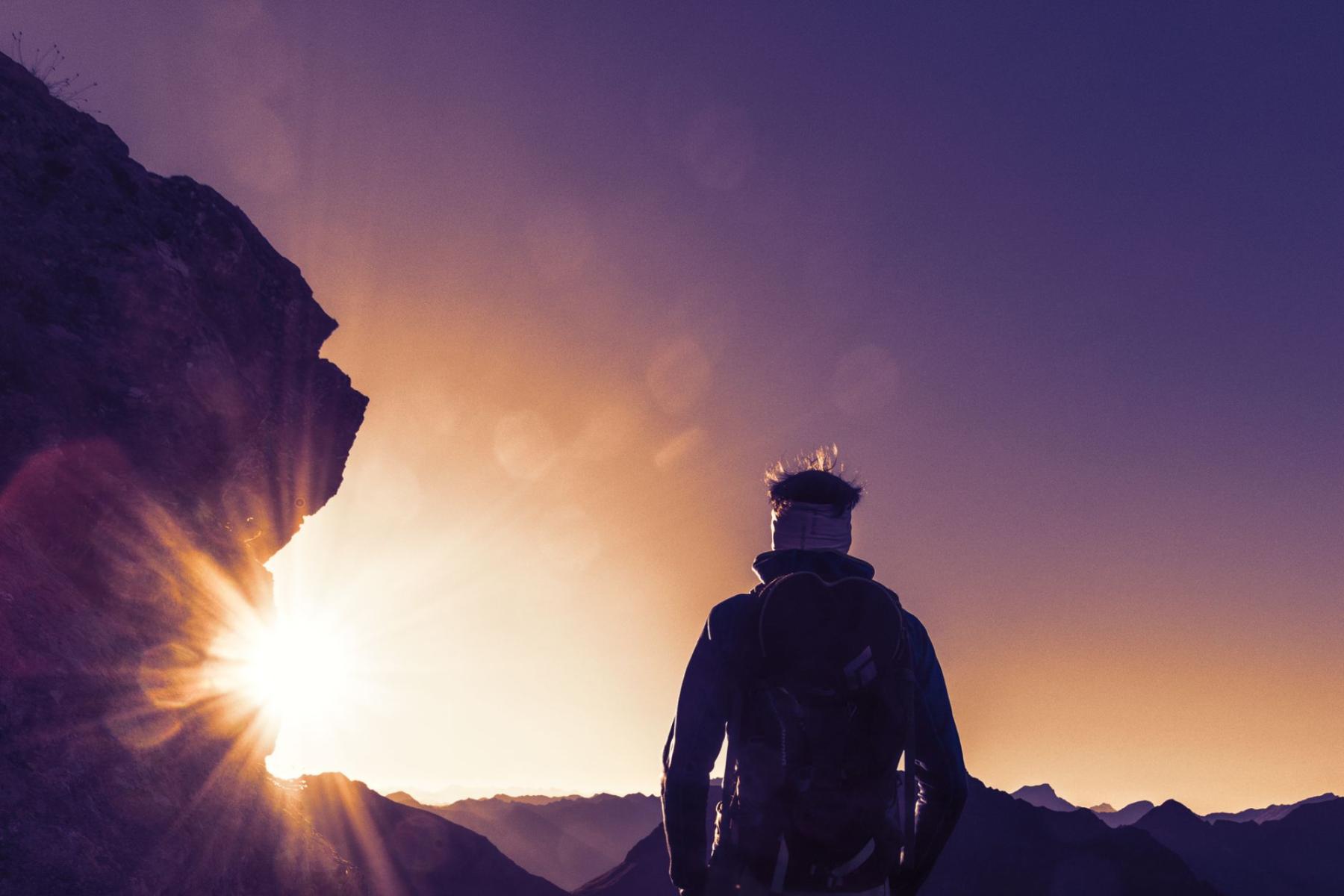
For sunrise, is it better to head for Stóg Izerski, Smrek, or stay closer to Świeradów-Zdrój? If an open horizon matters to you, choose a higher ridge; if a short, manageable return is more important, Świętojanki, Zajęcznik or the lower section of the route to Sępia Góra will be better options.
This is the basic principle of planning hikes by the light: do not begin by asking which viewpoint is “the best”, but where you want the light to be and how long you are prepared to walk after it disappears. The same trail can be superb before noon, unremarkable at sunset and needlessly risky after dark.
First the azimuth, then the trail
Sunrise and sunset do not occur at the same point on the horizon throughout the year. Before setting out, therefore, check the time of sunrise or sunset and the azimuth for the specific date, then compare it with a map of the terrain. The name of a summit guarantees nothing: a high point may offer an open view in the wrong direction, while a small rock on a slope may provide precisely the frame you need.
On the map, look for three things. First, a broad ridge or clearing where trees do not block the horizon. Second, the orientation of the slope: a south-west-facing slope will behave differently in the late afternoon than in the morning. Third, a place where you can turn back safely without adding more kilometres simply because the light appeared a few minutes later.
Świeradów-Zdrój offers several different types of terrain in this respect. The town’s official materials list, among its important viewpoints, spots along the route to Stóg Izerski, Zajęcznik, Świętojanki and the tower on Smrek. They are not, however, interchangeable “attractions”. Each solves a different problem for a photographer or traveller planning to set out at an unusual hour[1].
A broad ridge: more sky, less margin for error
Stóg Izerski and Smrek are good choices when you want to watch the changing light across a wider landscape rather than simply find a single frame between the trees. The route from Świeradów-Zdrój via Stóg Izerski to Smrek is approximately 6.9 km one way, while the official description gives a walking time of around three hours and a total ascent of 635 m. From the mountain hut on Stóg, there is a further section of approximately 2.4 km to Smrek; the Czech summit has a tourist border crossing and an observation tower[2].
This is a morning route for people who accept an early start, changing temperatures and the need to plan the entire return journey. Do not treat the tower on Smrek as somewhere you can “just add a few minutes” to reach. The section from the hut alone takes approximately 45–47 minutes each way according to the town’s description, and after sunrise the light does not stop changing simply because you have reached your destination.
On an open ridge, you gain a distant perspective but lose some shelter. The wind may feel noticeably stronger than in the spa town, while descending over wet rocks or frozen ground will require more care than climbing in the dark. If you do not know the route, it is better to make your first night-time experiment on a shorter option and leave Stóg and Smrek for a day when you can familiarise yourself with the trail beforehand.
A forest road and a rock: less panorama, more control
Forest sections have a different advantage. They will not always provide a broad view of the sun, but they generally make it easier to manage your time, fatigue and return. Sępia Góra leads from Świeradów-Zdrój between the access road and a forest road through the Kwisa valley; the town’s description gives a distance of approximately 2.4 km one way and a walking time of around one hour and twelve minutes from Stacja Kultury. The summit is home to the Biały Kamień group of rocks, with views extending, among other places, towards the Izera Foothills and the opposite Stóg Izerski[3].
This is a sensible option for anyone who wants to set out before dawn but does not need a wide panorama from the first minute. The forest guides the eye, provides natural orientation points and allows you to end the outing early. On a late return, however, this does not mean complete safety: after sunset, a forest road still requires a headlamp, a map saved offline and knowledge of where the trail becomes an access road.
Świętojanki are a different kind of destination. They are a group of granite-gneiss rocks on the south-western slope of Sępia Góra, with a panorama of the town and the Wysoki Grzbiet. Zajęcznik, in turn, offers a resting spot with views of Świeradów-Zdrój and the Kwisa valley[1]. In practice, this suggests two good scenarios: a late-afternoon walk to Świętojanki, when you want to use the side light on the rocks, and a short outing to Zajęcznik, when a calm return matters more than an open horizon.
Three scenarios by time of day
1. Sunrise on Stóg or Smrek
Head for the higher ridge only when the walking time has been calculated from the actual starting point, not from a car park or the upper station of the cable car. Allow extra time for a slower pace, photography stops and changing conditions. If you are planning to climb Smrek, remember that this is already a full mountain outing, not a short walk from the town centre.
Before setting out, check three forecasts: temperature and wind on the ridge, cloud cover at altitude and conditions on the return route. Even if sunrise is still a long way off, the trail may be slippery, and at night every uncertain section consumes more energy. Your camera should not take the place of an extra layer of clothing, a headlamp and emergency equipment.
If you choose Stóg without continuing on to Smrek, you can treat the hut and the spot beside the road as an intermediate destination. The official description of the route from Świeradów-Zdrój gives approximately 4.5 km one way and around 2.5 hours to climb to the hut, with the final shortcut being steep and rocky. This is important information for anyone planning to return in the half-light: the shortest option is not always the most comfortable one.
2. Sunset on Wysoki Kamień
Wysoki Kamień is best treated as a separate day-trip plan, not a spontaneous extension of a walk from Świeradów-Zdrój. The route linking the spa town with Szklarska Poręba leads via Stóg Izerski, Polana Izerska and Izerskie Garby, and then onwards towards Wysoki Kamień; the town’s description classifies it as a full-day excursion, taking approximately 6.5 hours to walk[3]. If sunset is the objective, it is more sensible to plan your arrival from the Szklarska Poręba side and approach the ridge from there.
This option rewards preparation but does not forgive improvisation. The rocks, open space and panorama are appealing in low light, yet after sunset you quickly lose the contrast between the path and the ground. Before setting out, determine a turnaround time that does not depend on whether the clouds part five minutes before sunset. If the photograph requires you to stay longer, plan the return as a night walk from the outset.
3. A short outing from the spa town
The best training for a longer hike in the dark is a route from which you can return without overstepping your own limits. In Świeradów-Zdrój, Świętojanki, Zajęcznik or the lower section of the climb to Sępia Góra can serve as such a testing ground. Do not, however, build your plan around the name of the destination alone. Check whether the final section follows a forest road, a path or a rocky ascent, and where the last convenient turning point is.
An option close to the spa town is particularly useful in fog. If the panorama disappears, you can still treat the outing as a walk through the forest rather than pushing higher simply to “save” the photograph. It is also a better choice for people using a tripod for the first time, testing night photography or wanting to see how quickly their equipment cools down.
Fog, inversions and low cloud: change the objective, not just your clothes
A forecast of “no precipitation” is not a forecast of visibility. With low cloud, you may get soft, diffused light, but you may also lose the entire panorama. At valley level, everything may be grey and flat, while higher up the ridge may emerge above the cloud layer. In such conditions, a viewpoint does not cease to be interesting; its function changes. Instead of distant mountains, you photograph the boundary between forest, cloud and light.
A temperature inversion means that the temperature rises with altitude. In the Izera Mountains, night-time cooling and the flow of cold air into enclosed depressions can create conditions in which the valley remains cold and foggy while it is brighter higher up. The town’s description of Hala Izerska indicates that nocturnal radiative inversion is one of the reasons for the very low temperatures in this area[6].
Plan two versions of the frame for this reason. Version A assumes a distant panorama: you choose an open ridge and a point with a broad horizon. Version B assumes fog: you choose a rock, a forest road, a solitary tree or a place where the light can pass through the cloud layer. If you see low cloud in the morning, do not ask only whether it will lift. Check the altitude of its base and whether your destination lies above it.
- With a forecast of low cloud, choose a shorter route with the possibility of turning back quickly.
- With an inversion expected, take a warmer layer, even if the temperature in the spa town feels mild.
- In strong winds, do not assume that a tripod and a long stop on an exposed ridge will be comfortable.
- In fog, use an offline map and do not cut corners along unmarked paths.
The night sky: a legal walk, not a nocturnal improvisation
The Izera Dark-Sky Park is a cross-border Polish-Czech area created to limit excess artificial light and preserve good conditions for observing the stars. Materials from the State Forests indicate that it includes, among other areas, sections of the Świeradów and Szklarska Poręba forest districts; the town’s official website describes it as Poland’s first dark-sky park and the world’s first park of this kind located on both sides of a border[4].
This does not mean that after dark you can freely leave the trail, pitch a tent or light a fire wherever you choose. In national parks, prohibitions apply to travelling outside designated routes, camping and using open fire; the government’s description of the rules also recalls the obligation to respect local regulations and signage[5]. In the Karkonosze Mountains, check the park’s current notices, trail closures and the rules applying to your planned section before setting out. On the Czech side of the border, do not treat a tourist crossing as an exemption from local regulations either.
A responsible walk after dark begins with a route you know from daylight. For your first observation, do not choose a long crossing over several ridges. A short section with a clear return route, a place to stop and the option of ending the outing before complete exhaustion will be better.
The minimum kit for an outing before dawn or after sunset
- a headlamp with a charged battery and a backup light source;
- a phone with a full battery, the emergency number saved and a map available offline;
- an extra layer of clothing, and a hat or gloves outside the summer season;
- a thermos, water, a small first-aid kit and an NRC emergency blanket;
- footwear with a sole suitable for wet or rocky ground;
- a tripod and camera only after your basic hiking equipment has been secured.
During observation, dim your phone screen, limit your use of the torch and point the beam downwards so as not to dazzle others or unnecessarily illuminate the surroundings. Do not shine it towards the sky for long. Darkness here is not a decoration but the very value for which this area was recognised.
The best light plan is not the one that leads highest. It is the one that combines the right direction for the panorama with a route you can walk safely even when the photograph does not work out, the sun disappears behind a cloud and an hour of walking remains after sunset. In the Izera Mountains, it is worth giving yourself permission to change your destination—because sometimes the most successful frame begins precisely where the original plan ends.