The Underground Heritage of the Borderland. Mines, Adits and Traces of Mining around Świeradów-Zdrój
An eight-kilometre trail in Krobica leads not only underground but also through a landscape shaped by historic mining. This guide brings together St. John’s Mine, the Kowary underground workings and Szklarska Poręba’s mineralogical heritage, explaining how a mining trail differs from a museum and a surviving mine-workings relic.
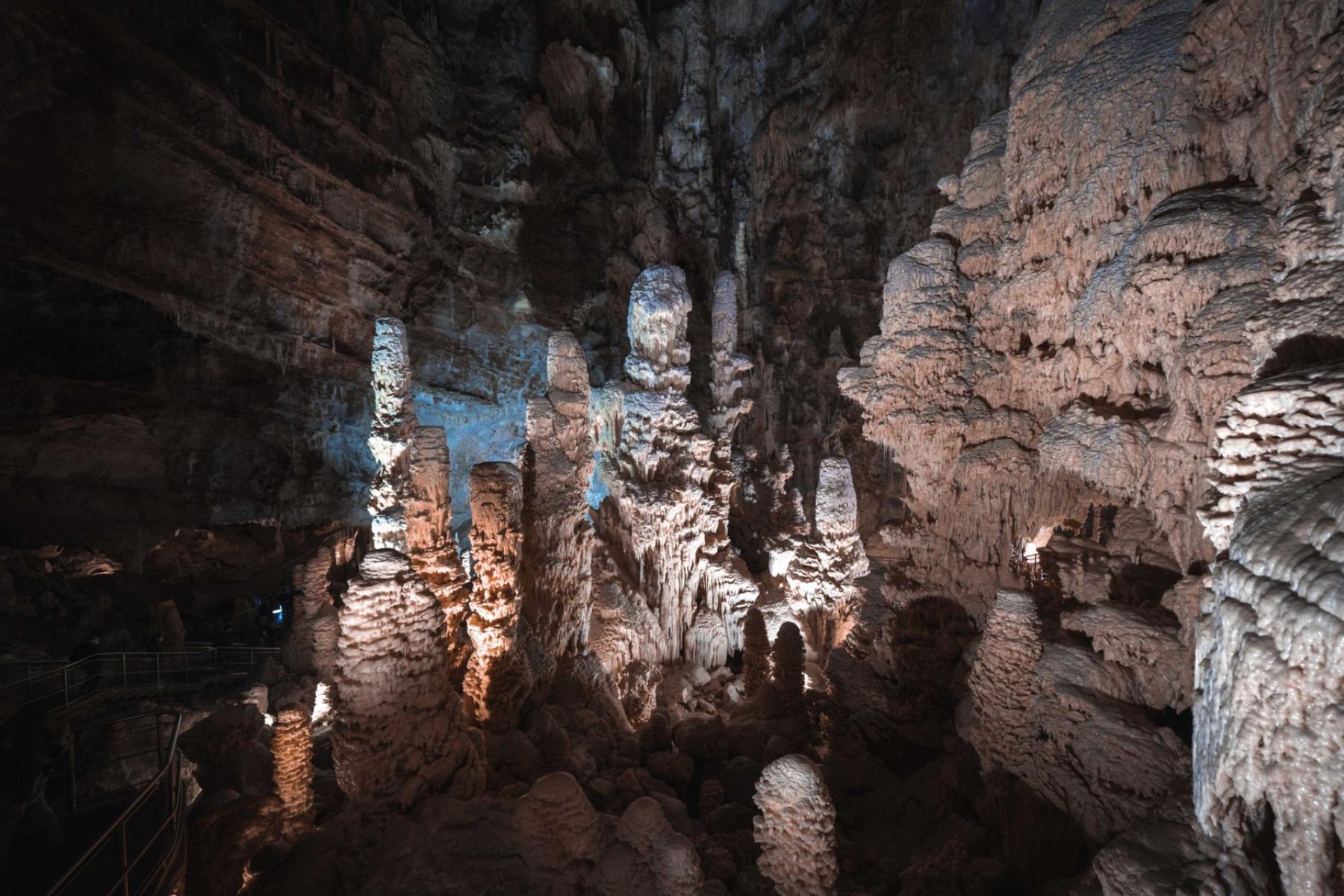
Eight kilometres divided between an underground section and sites in the landscape change the way a visit to Krobica is planned: you do not come here solely to tour an adit, but to spend several hours reading the landscape through the eyes of a miner[1].
That is an important distinction. Around Świeradów-Zdrój, the underground heritage is not a single, self-contained attraction, but a dispersed record of the search for tin, cobalt, iron, uranium, quartz and gemstones. Some of these traces can be explored with a guide, some are viewed only from the surface, and others are encountered in museum displays.
The best plan, then, is not to choose the most interesting mine. It is to understand what you are actually looking at: a preserved mine working, a tourist route, a former industrial site or an exhibition about the region’s geology.
The Izera Mountains Were More Than a Backdrop to the Spa
In the Gierczyn and Krobica area, tin was probably known from the fourteenth century, and was mined from the sixteenth to the end of the eighteenth century. The Polish Geological Institute states that around 20 mines operated in the area at that time. The deposits occur in the crystalline schists of the Karkonosze cover, and the principal ore mineral is cassiterite[2].
This geology had consequences that remained visible long after mining ended. The miners did not leave behind only empty galleries. Shafts, drainage adits, spoil heaps, traces of open-cast workings and altered watercourses also remained. That is precisely why the history of mining in the Izera Mountains cannot be contained in a single museum room. It is laid out across slopes, beside streams and along forest roads.
In Krobica, the transition from geology to industry is particularly clear. The deposit was the reason miners entered the rock, but the character of the site was also determined by technical problems: how to drain the water, connect levels, secure entrances and transport the extracted material. Today’s route allows visitors to observe not only what was mined, but also how the mine itself was organised.
Krobica: An Underground Route and the Landscape Record of a Historic Mine
The Geopark “In the Footsteps of Historic Ore Mining” begins at St. John’s Mine in Krobica. Around 350 metres of route are open underground, while the above-ground section leads through 12 sites encompassing 19 mining structures and three viewpoints[1]. This is therefore not a classic mine visit after which you return along the same route to the ticket office.
The underground section uses a complex of historic workings from the sixteenth-century St. John’s Mine and the eighteenth-century St. Leopold’s Adit. Work was carried out here during different periods, including from 1576 to 1633, and then in the eighteenth and nineteenth centuries. Visitors pass through St. Leopold’s Adit, use an interlevel shaft and reach workings associated with St. John’s Mine.
The greatest value of this place lies not in elaborate staging, but in the scale of the preserved galleries. The official route description indicates that the minimum cross-section of some workings is approximately 170 by 60 centimetres. Those dimensions immediately correct any notion of an underground attraction. You do not walk through a broad gallery, but through a space shaped by historic working methods and the limitations of the rock.
Once you emerge onto the surface, the second, equally important part of the visit begins. The trail leads towards former mining works associated with tin ores, including the area around the Hans Reichelt Mine and the Psi Grzbiet Mine. You can see the remains of shafts, lines of open-cast workings and traces of infrastructure used to manage water. Not all the structures are accessible. Some have been secured with grilles, partly to protect bat habitats.
It is this above-ground section that distinguishes Krobica from a short, purely underground tour. The surviving mine working is not decoration beside the trail, but evidence that mining operated as a system. A shaft, a drainage adit, an open-cast working and a process-water reservoir tell the story of different stages of the same activity.
How to Prepare for Krobica
- Age: Świeradów-Zdrój’s official information states that the underground route is available to children over the age of six[3]. For younger children, the above-ground section remains an option, provided the site’s current rules allow it.
- Clothing: The temperature underground is around 7°C, so a sweatshirt or jacket is necessary. Enclosed, sturdy footwear is not an optional extra but the basis of a safe visit[3].
- Booking: For a standard visit, the official information recommends arranging entry in advance; during special events, booking may be mandatory. It is best to confirm the current rules directly before travelling.
- Time: Allow more time than the underground section itself takes. If you treat the Geopark as a complete educational trail, comfortable shoes and sufficient time for the above-ground section are essential.
Krobica is best suited to people who want to understand the landscape, not merely see an underground corridor. Children encounter a history they can physically walk through: from the entrance to the adit to old shafts and viewpoints. Adults usually appreciate something else—the absence of a sharp boundary between a monument of industrial technology and the landscape.
Kowary: From Iron Ore and Uranium to a Second Life Underground
Kowary reveals another layer of Silesian mining. Mines extracting iron ores operated in the region, and after the Second World War uranium was mined here as well. Regional tourism materials list both the Kowary Adit workings in the Liczyrzepa Mine and the route in the Podgórze Mine. This is an important distinction, because the name “Kowary Mines” is sometimes used broadly, even though individual underground sites have their own histories and their own ways of being visited.
The Uranium Mine – Liczyrzepa Adit route leads through approximately 1,200 metres of authentic corridors. The tour lasts around 60 minutes, takes place with a guide, and the temperature inside remains at about 8°C[4]. The programme includes stories about uranium-ore mining, the geology of the deposits, prospecting methods, enrichment technology and the history of the Cold War.
As a result, Kowary feels less “medieval” than Krobica. Here, the underground workings lead through several eras: from historic ore mining to the post-war uranium industry and the later reuse of the workings. The Polish Geological Institute notes that a radon inhalatorium operated in a former uranium adit in Kowary. This episode should not be treated as a medical curiosity to imitate independently, but as part of the site’s complex history after mining ended[6].
In organisational terms, Kowary resembles a more conventional underground route than Krobica. Visitors follow a set section, listen to a guide’s account and view prepared exhibits. It is a good choice for those who want to go underground without planning a longer walk through the landscape.
Who Are Kowary For?
The regional description of the route calls it suitable for all age groups, but families with small children should take the tour time, the cold and the length of the corridors into account. For older children, the history of uranium can provide a starting point for a conversation about energy, radioactivity and post-war Europe. For adults, the more significant aspect will probably be the changing function of the underground spaces: first a mine, then a site associated with radon, and finally an educational route.
Before setting out, it is worth checking the current opening hours, the availability of the specific route and the booking arrangements. With underground sites, you should not assume that all visits can be arranged spontaneously or that every day follows the same timetable.
Szklarska Poręba: Minerals, Quartz and Traces of the Walloons
Szklarska Poręba tells the story of mining differently from Krobica and Kowary. Here, the search for gemstones, minerals and ores played an important role, as did the activity of the Walloons—outsiders associated with the search for mountain treasures. The town’s history is also linked to glassmaking, since the raw materials discovered and the availability of timber influenced the development of local industry[5].
The clearest example is Złota Jama by Kamieńczyk Waterfall. It is an artificially carved grotto where amethysts and pegmatite, among other materials, were once sought. It is not, however, the equivalent of a regular mining route. The site is viewed as part of a specific outdoor attraction, with safety rules related to the gorge and the approach to the waterfall.
The second type of site is the Mineralogical Museum. Rather than walking through a mine working, visitors see minerals, fossils and meteorites. It is a more analytical experience: it allows you to identify the structure, colour and origin of specimens, but does not directly show the conditions of working underground. For younger children or people who do not cope well with confined passages, it may be a better introduction than an adit.
In Szklarska Poręba, it is therefore worth separating three things: the legend of the Walloons, the genuine traces of historic workings and the contemporary mineralogical exhibition. All belong to the same heritage, but they do not have the same evidentiary value. The museum displays a specimen. The adit displays a working space. The landscape shows how mining was inscribed into the terrain.
How to Tell a Mine, an Adit, a Relic and a Museum Apart
These terms are often used interchangeably, although for planning a trip they describe entirely different experiences.
- An operating underground route is a section of former workings prepared for visitors. It has a designated entrance, safety rules and usually a guide. Krobica and Kowary belong to this category.
- A surviving mine-working relic is a preserved shaft, spoil heap, open-cast working, adit portal or trace of water-management equipment. It is usually viewed from the surface. Unopened entrances must not be treated as wild attractions.
- A geological or mineralogical museum organises knowledge about rocks, minerals and raw materials. It does not replace a mine, but allows visitors to understand what historic miners were looking for and how deposits were identified.
- An outdoor trail links several sites across the landscape. Its fullest example is the Geopark in Krobica, where the underground section forms only part of a larger story.
The best choice depends on what you expect from the day. If authentic space and the work of a guide matter most, choose an underground route. If freedom to walk and landscape photography are more important, a trail with surviving relics will be better. If the group includes different ages or someone dislikes confined passages, a mineralogical museum offers greater comfort while remaining close to the subject.
From the perspective of Świeradów-Zdrój, these places form a regional story about raw materials that changed the way the mountains were inhabited and used. Krobica shows the system of historic tin and cobalt workings. Kowary leads through iron, uranium and the post-war life of the underground spaces. Szklarska Poręba reminds us that mining does not always begin with a regular mine—sometimes it begins with the search for a single crystal in the rock.
That is why the eight kilometres in Krobica are more than a route measurement. They are an instruction for exploring the entire region: descend underground, emerge onto former mining terrain, then continue onwards to see how the same geology took entirely different forms in different places.